Taking due diligence to measure risk in a real estate investment is always a fraught endeavor. In today’s commercial real estate market, where uncertainty is widespread, and climate change risks continue to be revealed, it can be even more stressful. Assessing risks at a property is a crucial part of the process in the insurance industry, as the information gathered is what professionals rely on to inform underwriting decisions, tailor coverage options, and ensure accurate pricing. With destructive weather events expected to increase in the future, costing billions of dollars in damages, getting the best insights and data on a property is a top priority for building owners and insurers. New tech tools are helping professionals in these sectors do just that, especially when it comes to roof condition—a notoriously difficult to assess area—by using machine learning and AI along with aerial imagery.
Aerial imagery encompasses a few different methods: drones, small airplanes, and satellites. All three can be powerful tools for insurance companies to assess risk. Using these sky-high methods helps insurers gain a more comprehensive and objective view of properties and their surroundings. They can assess several aspects of a building’s structure, including size, shape, condition, roof type, and materials. The tools are able to capture many property features like pools, decks, sheds, and other kinds of structures. Using a birds-eye view, they are also capable of identifying signs of neglect or deferred maintenance and determining if a property is occupied or vacant. The perspective also helps insurers study the environment and look at important factors like drainage patterns, tree cover, bodies of water, and nearby roads, bridges, and infrastructure. Aerial images have the benefit of being detailed and up-to-date, which helps insurers make more informed decisions about underwriting, pricing, and claims.
Using more sophisticated technology is becoming more important for insurers. In recent years, insurers have been more closely scrutinizing commercial building roofs, focusing especially on the age and condition of the roofs. Those buildings with older roofs that have not been updated and roofs located in geographic regions are often exposed to extreme weather events like windstorms, wildfires, and severe thunderstorms and are experiencing coverage for roof damage limited by policy provisions. Some insurers have been adding more coverage restrictions in the wake of rising extreme weather events and covering older roofs on a depreciated, actual cash value basis rather than on a replacement cost basis. More scrutiny is also falling on roof materials, as roofs constructed using wood or shingles could be considered more likely to be impacted by embers blown in from wildfires miles away.
Insurers using aerial imagery aren’t just focusing on commercial buildings. More and more, insurance companies in the U.S. are taking images of single-family homes using drones, airplanes, and even satellites as a way to better assess and, in some cases, drop properties they see as high risk. “If your roof is 20 years old and one hailstorm is going to take it off, you should pay more than somebody with a brand new roof,” said Allstate Insurance Company CEO Tom Wilson, who added that the firm is looking to further step up its use of aerial imagery to improve its underwriting.
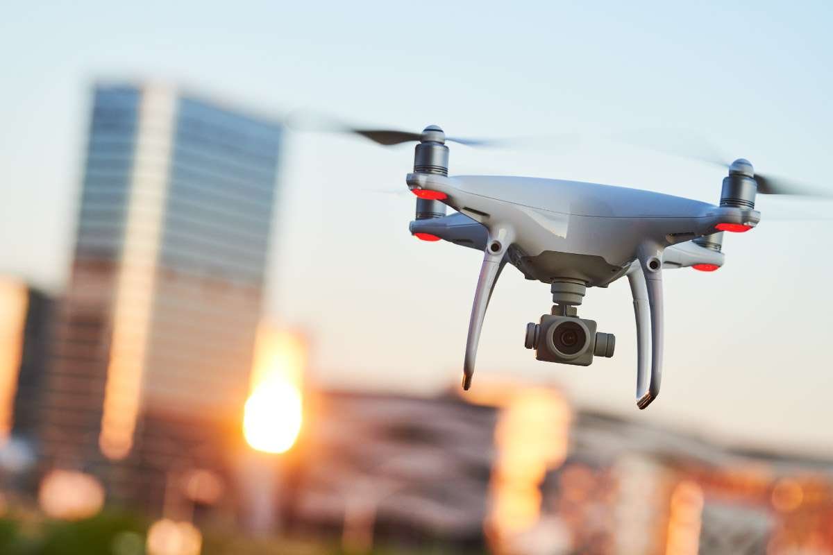
Drones were among the first aerial imaging methods to be used by major insurance companies starting in 2015. Several leading firms began using the technology for things like data collection, underwriting, and claims resolution support. Drones are often much faster than annual inspections and are typically easy to use. They also have the advantage of accessing hard-to-reach areas on rooftops that manual inspections and small airplanes would not be able to reach. Using drones also avoids putting workers into dangerous situations where they may have to climb tall buildings and maneuver around rooftops.
Drone imagery is now paired with AI and machine learning applications to glean even more insight. Rather than just looking at the images that drones can take, AI can precisely assess the state of a roof by looking at the variation of color pixel by pixel. Things like roof leaks or cracks in masonry can be hard to see, even for the most experienced assessor, but AI can be trained to point out any possible problems for further inspection automatically. Like any inspection, drone imagery becomes more useful when it is done regularly. When the condition of a building is documented over the course of time, AI can not only spot any material changes but also make suggestions for replacement when a material is expected to reach the end of its useful life.
The market for drone imagery in assessing property risks will no doubt continue to grow going forward, driven in no small part by the increase in extreme weather events caused by climate change and the desire to make property inspections and assessments more streamlined and efficient. While insurance companies’ use of aerial imaging to assess policyholders’ roof conditions has drawn controversy and concern from many homeowners, its use in commercial real estate has had a more positive reception. Property owners, investors, and managers are able to get a more accurate and comprehensive view of roof conditions by using this technology, and it often speeds up the risk assessment process. More data—and more good data at that—is in high demand these days, and that’s something that will help keep driving this technology forward.


